Kartat
Äänekosken kaupungin tonttipalvelut tuottaa, ylläpitää ja tarjoaa erilaisia karttoja. Kartta- ja paikkatietoaineistoja on saatavana joko perinteisinä paperikarttoina tai yleisimmissä tiedostoformaateissa digitaalista käyttöä varten.
Äänekosken karttapalvelu
Karttapalvelussa voi etsiä kohteita ja palveluita yläreunan hakurivillä tai suurennuslasin oikealta puolelta kolmiosta löytyvästä palveluhausta.
Karttatuotteet
Tonttipalveluista voi tilata asemakaava-alueelta pohjakarttoja, asemakaavakarttoja sekä tonttikarttoja. Tonttikartat ovat saatavissa Äänekosken ja Suolahden taajamista. Karttojen hinnat löytyvät maankäyttöpalveluiden hinnastosta.
Viralliset karttaotteet esim. kauppakirjoihin on tilattava tonttipalveluista. Karttapalvelusta tulostettavat kartat eivät ole virallisia.
Kartta- ja asiakirjatilaukset: karttatilaukset@aanekoski.fi
Tilausten normaali toimitusaika on keskimäärin 3 työpäivää. Lomakaudella toimitusaika voi olla pidempi.
Matkailukartat
Äänekosken matkailun palvelukartta 2018
Äänekoski
Suolahti
Sumiainen-Konginkangas
Painettu opaskartta
Opaskartta: taajamat ja haja-asutusalue
Opaskartat
Äänekoski
Suolahti
Sumiainen
Konginkangas
Rotkola-Paatela
Hirvaskangas
Haja-asutusalue
Mielenkiintoisia karttalinkkejä
Maanmittauslaitoksen maastokarttojen ostaminen verkosta
Kansalaisen karttapaikka
Vanhat painetut kartat
Historialliset kartat
Karttakuvapalvelu (WMS)
Äänekosken kaupungin karttapalvelusta olevat kartat ovat ladattavissa WMS -palvelusta. Koordinaattijärjestelmä on ETRSGK-26. Tunniste EPSG:3880.
Kaikki taajamat ovat N2000 -korkeusjärjestelmässä.
Palvelun osoite: https://kartta.aanekoski.fi/TeklaOGCWeb/WMS.ashx
Ilmakuvat
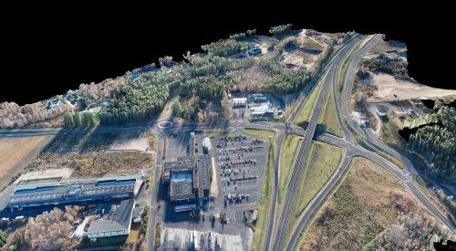
Ilmakuvien käyttö ilman Äänekosken kaupungin ja kuvaajan lupaa on kielletty. Kuvien käyttöoikeuksista saat lisätietoa tonttipalveluista.
2016
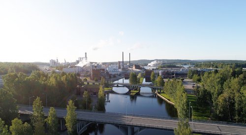
Äänekoski luoteesta
Äänekoski koillisesta
Mörtti
Piilolanniemi
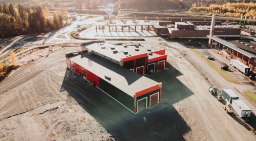
Biotuotetehdas
Biotuotetehdas
Hirvaskangas
Suolahti
2013
Hirvaskangas idästä
Hirvaskangas lännestä
Hirvaskangas pohjoisesta
2012
Ilmakuvia Hirvaskankaalta, Koivistosta, Konginkankaalta, Matilanvirralta, Sumiaisista, Suolahdesta ja Äänekoskelta 16.9.2012 Kuvat Lentokuva Vallas Oy.
Hirvaskangas koillisesta
Hirvaskangas lounaasta
Sumiaisten Kukkoniemi (taajama) lännestä
Suojärven siirtolapuutarha kaakosta
Suojärven siirtolapuutarha luoteesta
Lehtorinne idästä
2011
Sumiaisten taajama kaakosta
Äänekosken taajama etelästä
Äänekosken taajama kaakosta
Mörtti lounaasta
Suojärven siirtolapuutarha etelästä
Suojärven siirtolapuutarha kaakosta
2010
Konginkankaan taajama etelästä
Sumiaisten taajama pohjoisesta
Suolahti ja Keski-Suomen Opisto kaakosta
Suolahden taajama idästä
Äänekosken taajama koillisesta
2009
2008
Äänekoski
Suolahti
Sumiainen
Konginkangas
2006
Äänekosken keskusta
Äänekosken Mörtti ja Ääneniemi
Äänekosken Akanniemi
Suolahden keskusta
Sumiaisten keskusta
2005
Suolahden keskusta
Suolahden Lehtorinne
Suolahden Kanavaharju ja Paadentaipaleenvuori
